ODA Platform exports geospatial data from a drawing to a PDF document according to PDF standards that were introduced in version 2.0 of the PDF format.
The PDF export module exports a map and a coordinate system to provide geospatial measuring in PDF files.
There are two requirements for exporting geodata to PDF:
- The geographical map in the source drawing cannot be in the "Off" state.
- The eye direction must be perpendicular to the plane of the geographical map.
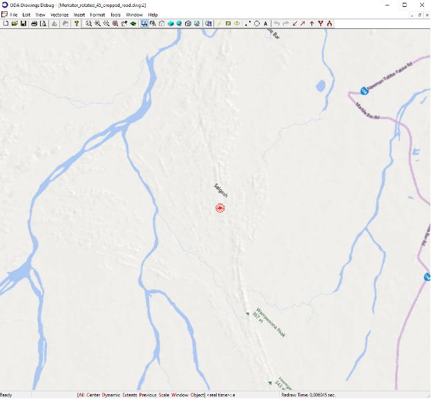
For example, the picture below illustrates a regular map in a .dwg file.
To get detailed information about adding geospatial data in a .dwg file, see Working with GEO Functionality. Also see the following examples:
To turn on geospatial data export, set the measuring flag in the export flags by calling the setExportFlags() method of the PDFExportParams class:
PDFExportParams params;
params.setExportFlags(PDFExportParams::PDFExportFlags(PDFExportParams::kMeasuring));
Then set the measuring type to the kGEO value to export the coordinate system to the output PDF document:
params.setMeasuringType(PDFExportParams::kGEO);
Any PDF viewer application that supports the PDF standard should vectorize and process exported geospatial data.
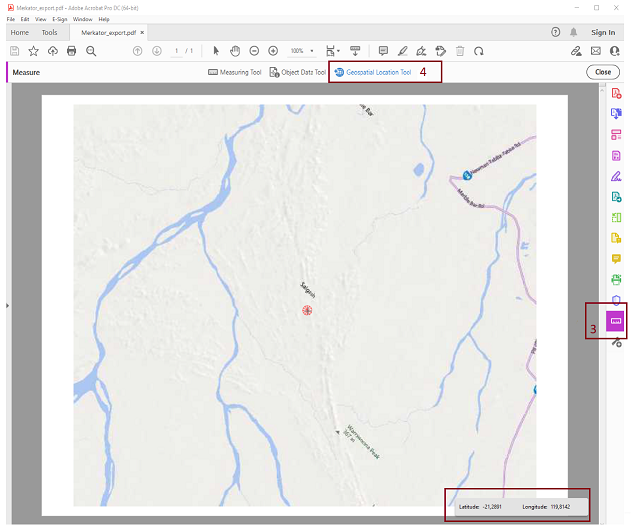
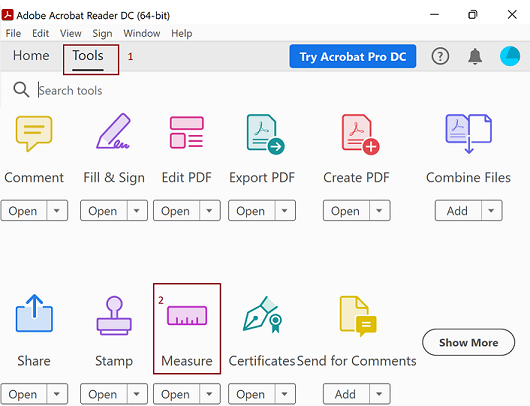
For example, to open the Geospatial Location toolbar in Acrobat® Reader®, choose Tools tab,
then press the Measure element.
After a PDF document with geospatial data is open, click Geospatial Location Tool to
show the panel with coordinates.